

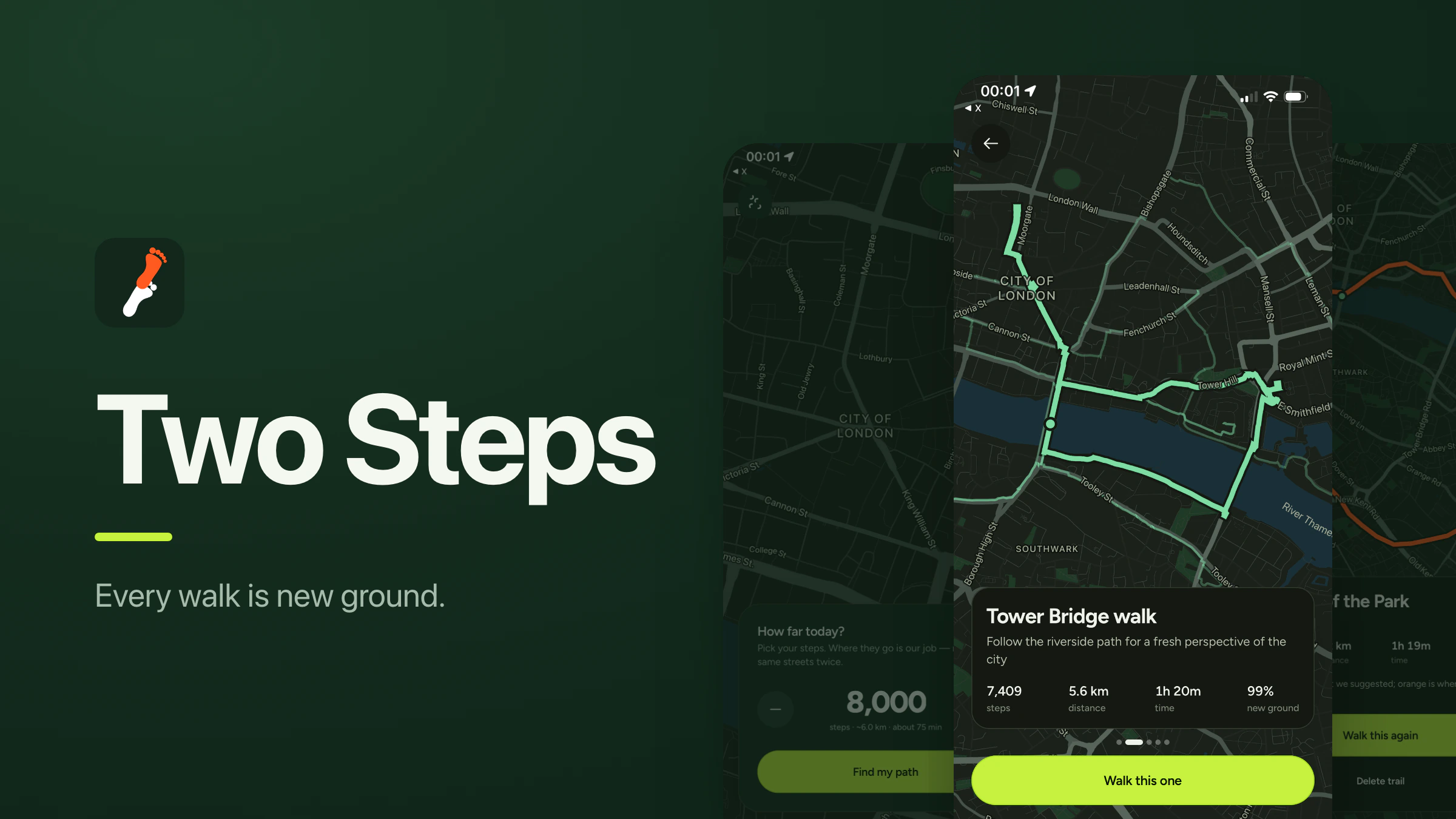
Two Steps used to be a step counter. It counted your steps and put your total on a leaderboard next to your friends'. That was the whole app, and the leaderboard was the only reason to open it.
This year I started walking properly, with a step target most days. I don't go out much otherwise, so I walk the same few routes over and over, and they wear out fast.
Going somewhere new is the obvious fix, but doing it by hand means two things I don't enjoy. I have to work out where to turn next while I'm already walking, and once I've hit my number I have to find my way home. Both of those turn a walk into something I have to manage.
On one of those walks it occurred to me that the app could do all of it. I tell it how many steps I want. It gives me a loop that adds up to roughly that many, made mostly of streets I haven't walked before, ending where it started. That's version 2.0, and it's what the rest of this is about.
Setting the number
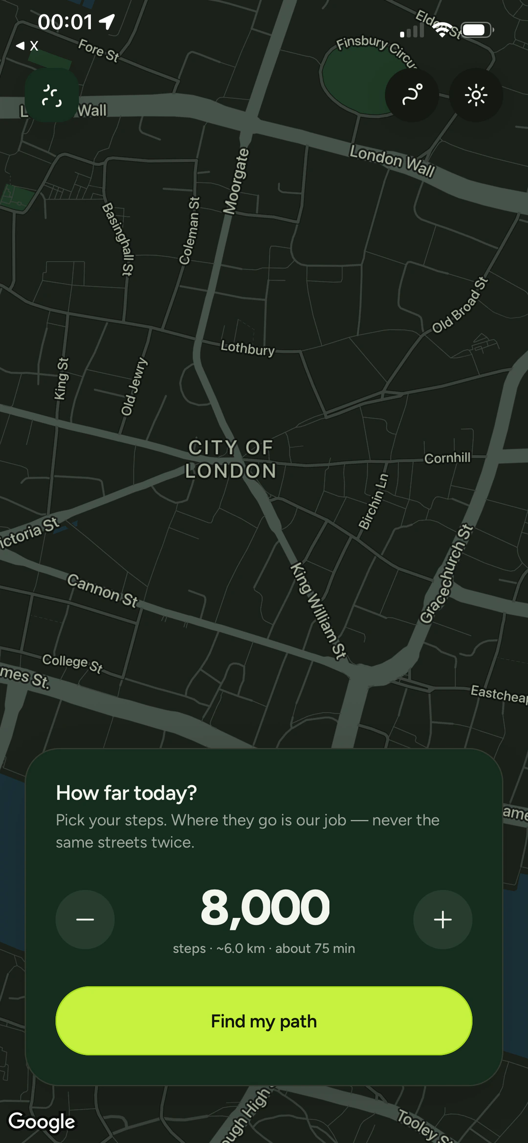
There is one control on the first screen. You pick how many steps you want, and the app shows you what that means in distance and time, so 8,000 steps reads as about 6 km and about 75 minutes.
You can also press and hold anywhere on the map to set a destination instead. That's for when you're actually going somewhere and just want the walk there to be worth taking. Everything below works the same way for both.
Making a route
When you press the button, the phone sends three things to a small server: your goal, a random seed, and a list of the ground you've already walked.
The server doesn't know anything about streets. It works in plain geometry. For a loop it takes a circle around you, pushes the centre off in a random direction, and drops three via points around that circle at roughly even spacing, each nudged a bit so no two loops come out the same shape. The circle is drawn about a quarter smaller than the maths suggests, because a route that's meant to be round gets stretched by the street grid it has to follow.
Those via points aren't a route. They're a claim about where a route should pass. Google's Routes API takes them and returns a walking path.
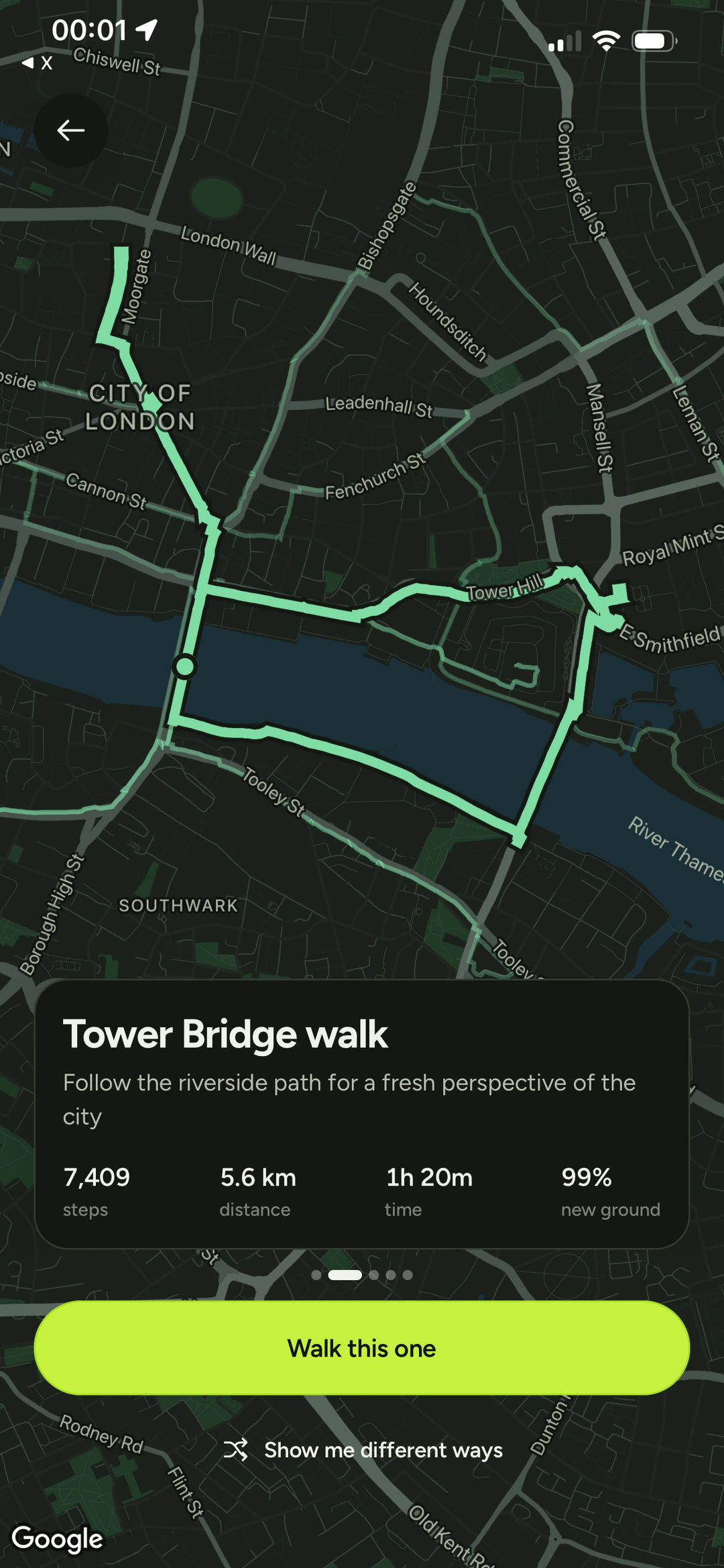
That happens seven times with different via points, so seven routes come back. Two numbers decide which are worth showing: how much of each one is ground you've never covered, and how close it lands to the number you asked for. New ground is worth up to 70 points and hitting the goal is worth up to 30, so a fresh route that comes in a little long still beats a familiar one that lands exactly on target.
Then the near-duplicates go. Any route sharing more than 80% of its ground with one already picked is the same walk with a different wobble, so it's dropped. What's left is up to five options that are actually different from each other, which is worth more than five that only look like a choice.
Naming the walks
Every route that survives gets a name and one line about it. That comes from a model, in a single call, and it's the only thing the model does. It's given the distance, the time, the new-ground percentage and the name of any park the route was bent through. It never sees the geometry and it never chooses the route. The scoring has already done that.
It also gets four and a half seconds. If there's no key, or it times out, or it hands back the wrong number of entries, the app falls back to names built from two local word lists, which is where "interesting" names come from. The rule is that the model can improve a walk but can never hold one up.
Walking it
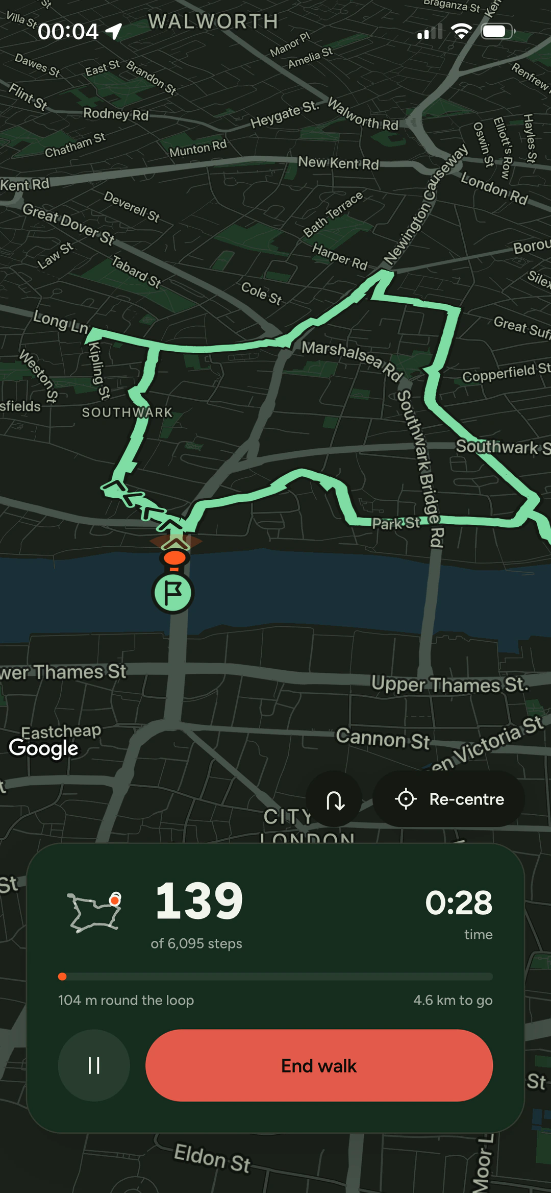
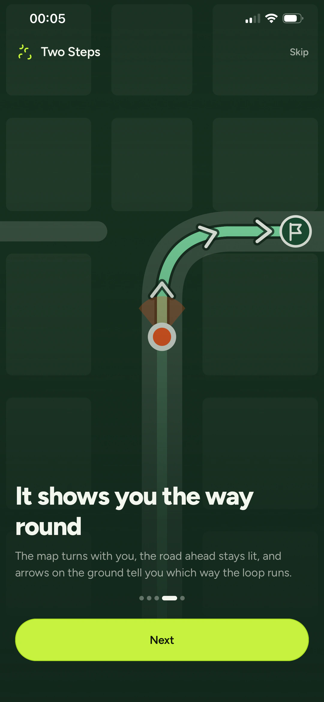
A loop doesn't have a direction. The line runs one way in the data, but you can walk it either way and you decide which by setting off. This turned out to be the fiddliest part of the whole app. If it guesses wrong, everything downstream is wrong with it: the distance remaining counts up instead of down, and the arrows point back the way you came.
So it doesn't guess. For the first 30 metres it watches where you actually go, compares that against both readings of the line, and takes whichever one you're matching. After 150 metres the question is settled and stops being asked. There's also a turn-around button that flips it by hand and locks it there, for when you change your mind halfway round.
Once the direction is known, the map orients to it. It turns as you turn, the road ahead stays lit and the ground behind it dims. The arrows are planted on the route every 70 metres rather than floating ahead of you, so you walk past them the way you'd walk past a sign, and there's never one right under your feet.
After the walk
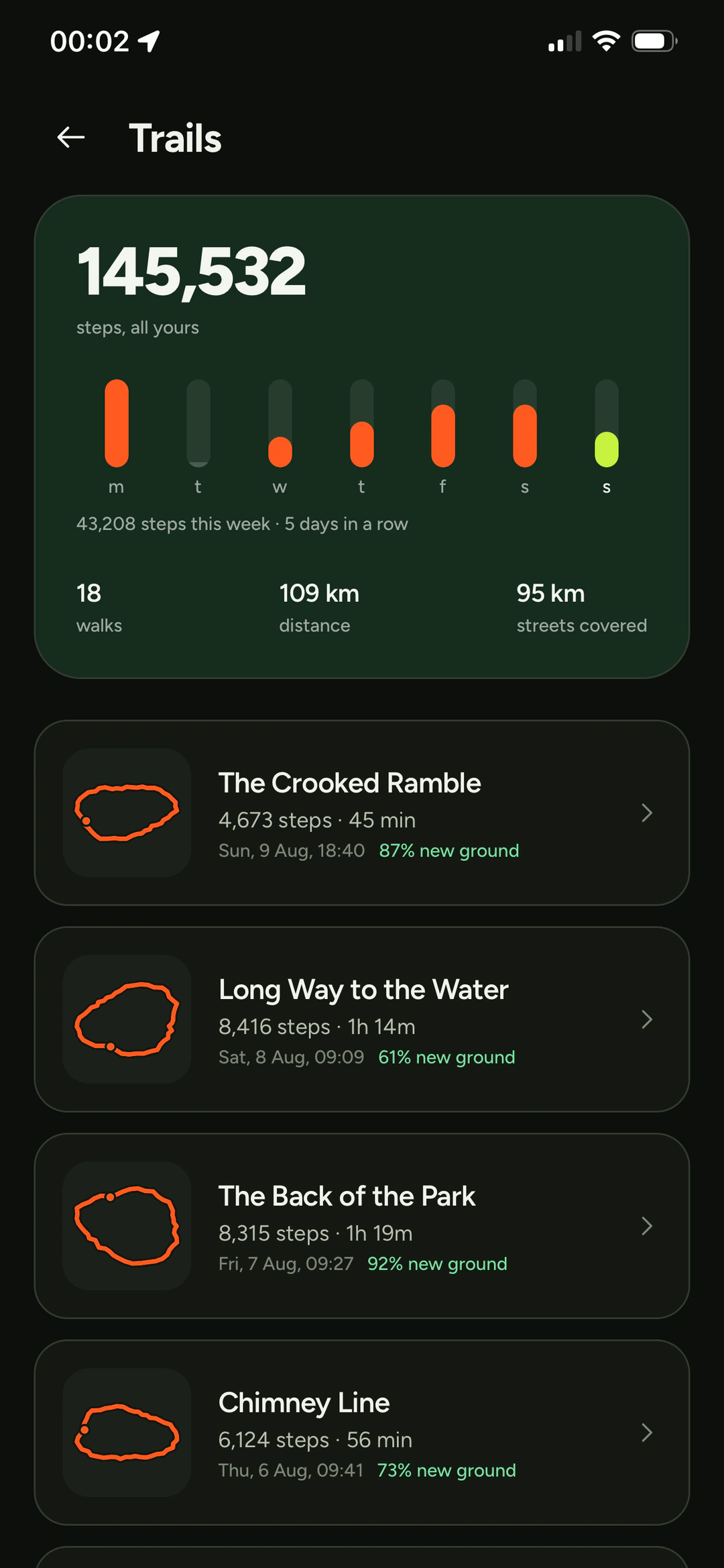
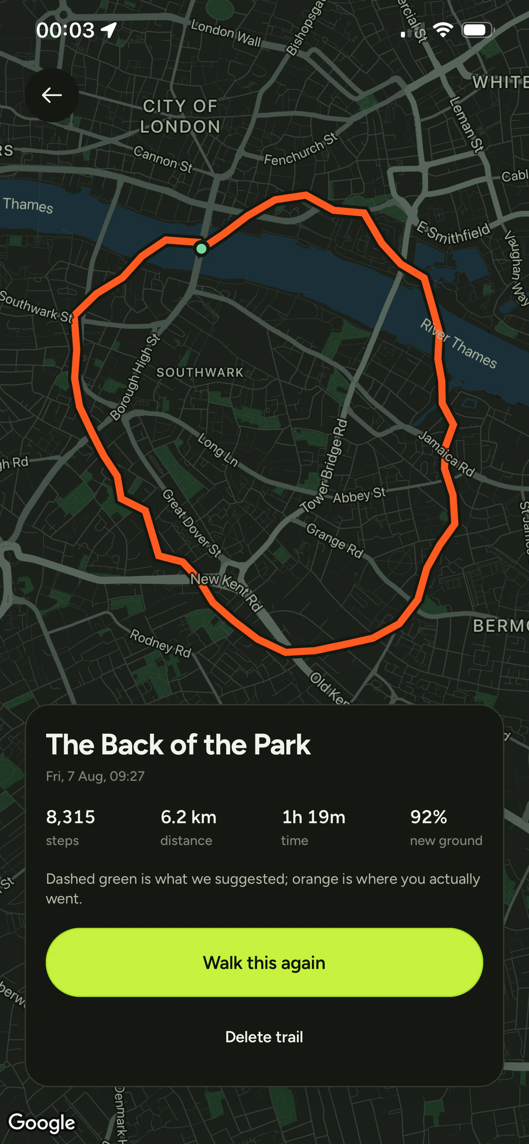
Ending a walk saves it and stamps its cells, so the next route steers around it.
Each saved walk keeps two lines: the route that was suggested and the one you actually walked.
Counting steps
The number on the front is the phone's own count for the day, not just what the app recorded while a walk was running. Those are different numbers and it matters which one you show.
On iOS that's straightforward. The motion coprocessor keeps a rolling history, so it can be asked for everything since midnight. Android has no equivalent: its pedometer starts counting when you subscribe and knows nothing about the hours before that. So there the day's total comes from Health Connect, and if that isn't available the app shows what it recorded itself and says that's what it is.
A walk in progress also shows up outside the app: a Live Activity on iOS, a home screen widget on Android. The Live Activity feeds itself from the motion coprocessor between updates.
How it's built
- Expo, React Native
- One codebase, iOS and Android
- expo-router, Restyle
- Navigation and the design system
- zustand, MMKV
- State and storage
- Cloudflare Workers, Hono
- One endpoint to generate a route
- Google Maps & Places
- Maps and directions
- TanStack Start
- Markgeting Website
Other things I've built

Picashot
A home for in-game photography. The app, the website, the API and Studio, running since 2021 with over 200,000 photos.
FastChow
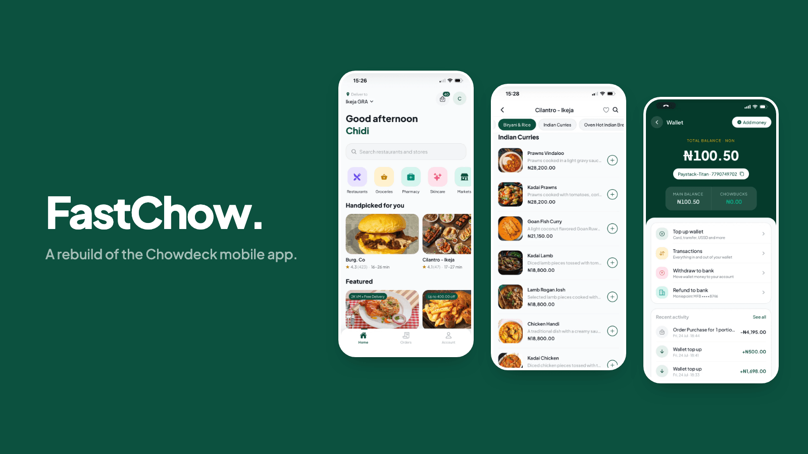
A rebuild of the Chowdeck app, focused on making every interaction feel immediate. 28 screens running against the live API.
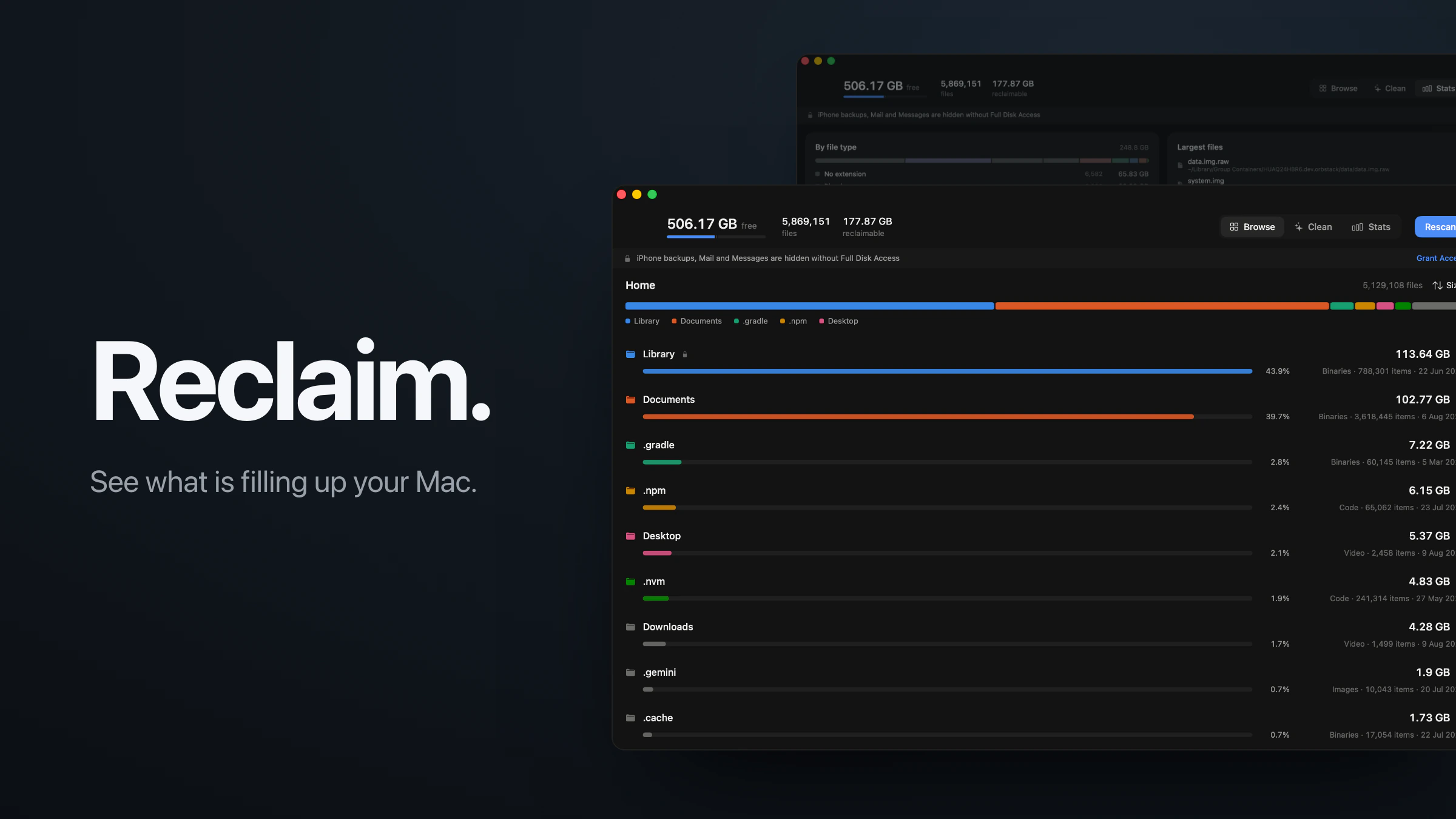
Reclaim
A disk space app for macOS. Reads five million files in about thirty seconds and only offers to delete what comes back on its own.
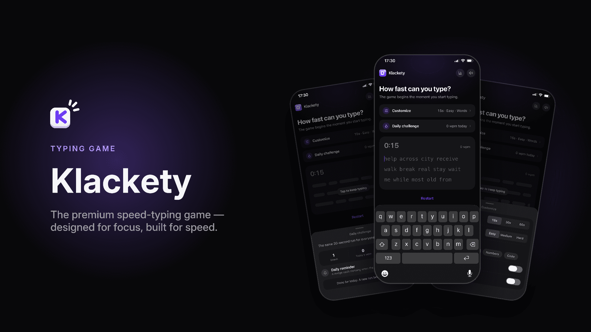
Klackety
A speed-typing game for iOS and Android that sounds and feels like a mechanical keyboard. Three sound packs, haptics, 60fps.